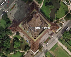
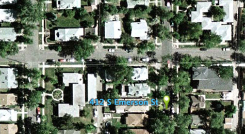
The result?
A powerful upgrade to an already cool and intuitive visual interface for a real estate search tool.
Currently, [a listing query in [Trulia]](http://www.trulia.com/NY/New_York/) will bring up a Google map with markers for each of the listings.
Now you can take the query a step further…

As long as you have the [free Google Earth application installed](http://earth.google.com/download-earth.html), you can view your listing search results in 3D (or take a break from house hunting and sneak a peak at the Eiffel Tower using the Google Earth application).
It gives a more refined impression of the area surrounding the property you are interested in. In other words, the searching process becomes more than just generating lists of numbers and addresses.
Real estate queries now get down to earth (the last lame “earth” analogy of this post, I promise).
One Comment
Comments are closed.


6 months ago I wrote a program to pull forclosure data from my county’s website and plot the forclosures onto Google Maps. That was QUITE enlightening …